 DEMO Paikkatietohakemisto
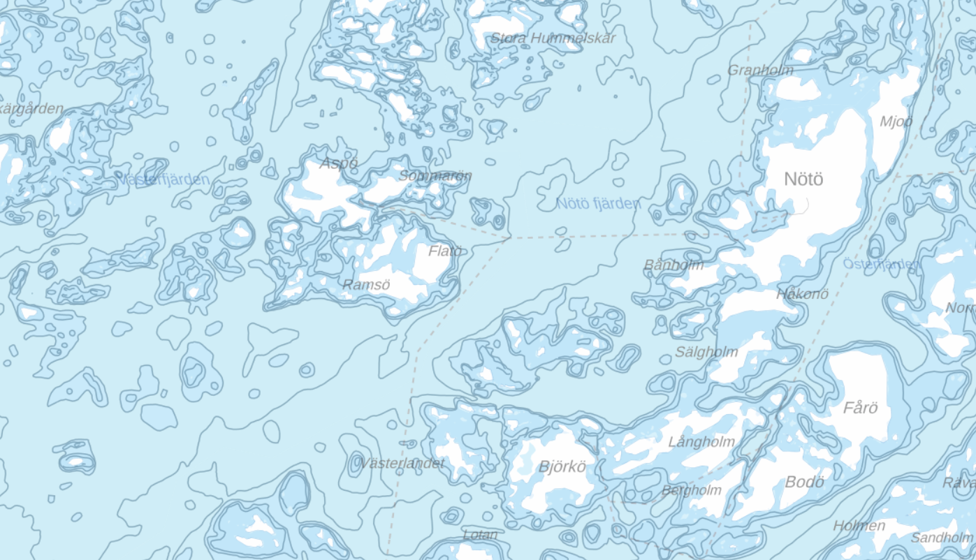
Merikartan syvyystiedot
Aineisto sisältää syvyysalueet, syvyyskäyrät ja yksittäiset syvyyspisteet (syvyysluvut).
Simple
- Date (Creation)
- 2010-04-07
- Date (Publication)
- 2010-04-07
- Date (Revision)
- 2009-06-15
- Edition date
- 2014-12-02
- Unique resource identifier
- http://paikkatiedot.fi/so/1000275
- Presentation form
- digitalGeographicInfo
- Purpose
-
Soveltuvat käyttökohteet: Tietojärjestelmät, taustakartat, teemakartat, tutkimus, julkaisut, www-sivut.
- Status
- On going
- Maintenance and update frequency
- Continual
- Update scope
- Dataset
-
Paikkatietohakemiston asiasanasto
-
-
Syvyyskäyrät
-
Syvyysmallit
-
Syvyyspisteet
-
Syvyys
-
Topografia
-
Merenpohjat
-
-
GEMET - INSPIRE themes, version 1.0
-
-
Korkeus
-
Merialueet
-
- Access constraints
- License
- Use constraints
- License
- Classification
- Unclassified
- Use limitation
-
Creative Commons 4.0 BY
- Spatial representation type
- Vector
- Metadata language
- Finnish
- Topic category
-
- Elevation
))
- Unique resource identifier
- EPSG:4326
- Topology level
- Geometry only
- Distribution format
-
-
ESRI Shapefile
(
1.0
)
-
ESRI Shapefile
(
1.0
)
- OnLine resource
- https://julkinen.traficom.fi/oskari/
- Hierarchy level
- Dataset
Conformance result
- Date (Publication)
- 2010-12-08
- Explanation
-
Sääntöjenmukaisuutta ei ole arvioitu.
- Pass
- No
Conformance result
- Date (Publication)
- 2011-02-22
- Explanation
-
Tietotuotemäärittelyä ei ole vielä julkaistu.
- Pass
- No
- Statement
-
Aineisto syntyy, kun merenmittauksista saatua tiheää aineistoa yleistetään ja muodostetaan syvyyskäyrät sekä valitaan syvyyspisteet, jotka esitetään merikarttatuotteilla.
- File identifier
- 3018dc34-cb48-4ce3-ad3e-24f83afcc03a XML
- Metadata language
- Finnish
- Parent identifier
-
Merikartta-aineisto
1d1c8600-76bf-4e1f-bd09-b5c154ca30dc
- Hierarchy level
- Dataset
- Hierarchy level name
-
dataset
- Date stamp
- 2020-08-07T08:37:52
- Metadata standard name
-
ISO 19139 Geographic Information - Metadata - Implementation Specification
- Metadata standard version
-
2007
Overviews
Spatial extent
Provided by
