Protected sites
Type of resources
Topics
Keywords
Contact for the resource
Provided by
Years
Formats
Representation types
Update frequencies
Service types
-
WFS download service for ELF Protected Sites dataset of Finland
-
This dataset contains borders of the HELCOM MPAs (former Baltic Sea Protected Areas (BSPAs). The dataset has been compiled from data submitted by HELCOM Contracting Parties. It includes the borders of designated HELCOM MPAs stored in the http://mpas.helcom.fi. The designation is based on the HELCOM Recommendation 15/5 (1994). The dataset displays all designated or managed MPAs as officially reported to HELCOM by the respective Contracting Party. The latest related HELCOM publication based on MPA related data is http://www.helcom.fi/Lists/Publications/BSEP148.pdf The dataset contains the following information: MPA_ID: Unique ID of the MPA as used in HELCOM Marine Protected Areas database Name: Name of the MPA Country: Country where MPA is located Site_link: Direct link to site's fact sheet in the http://mpas.helcom.fi where additional information is available MPA_status: Management status of the MPA Date_est: Establishment date of the MPA Year_est: Establishment year of the MPA
-

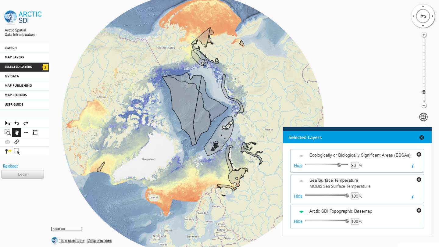
The Arctic SDI Geoportal provides access to geospatial data and services available via the Arctic SDI to support and facilitate monitoring, management and decision making, and support sustainable development in the Arctic. Specifically, the Arctic SDI Geoportal facilitates the discovery, visualization, evaluation, download and integration of geographic data from a variety of sources for the Arctic. The Arctic SDI Geoportal is the result of cooperative efforts between the National Mapping Agencies (NMAs) of the eight Arctic Council Member countries - Canada, Denmark, Finland, Iceland, Norway, Russia, Sweden and the United States. The Arctic SDI Geoportal includes reference data (such as the Arctic SDI topographic basemap or Pan-Arctic Digital Elevation Model) and thematic data from various sources. Thematic data section includes themes such as oceans, climatology and geoscientific information. Most of the data covers the Arctic or the involved Arctic countries, but new data sources with a smaller or larger geographical extent may be accepted. The Geoportal allows searching placenames via a circumpolar gazetteer, and embedding interactive maps to any website. Some of the features require registration.
-

Paikkatietohakemisto is a national metadata discovery service.
 DEMO Paikkatietohakemisto