Geology
Type of resources
Available actions
Topics
Keywords
Contact for the resource
Provided by
Years
Formats
Representation types
Update frequencies
status
Service types
Scale
-
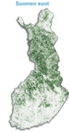
The data set relating to overall mapping of national peat resources contains by focus area those mires over 20 ha in extent that are most important from a peat production perspective. Since 1975 additional smaller areas have been included as required. For each mire, there are data on mire type, peat type, peat reserves, peat physical properties, mires that are suitable for peat production, peat quality and exploitable peat reserves. This information is published in municipality-specific peat investigation reports that present general information on each mire investigated and their applicability to energy, horticultural and environmental peat production as well as to protection purposes, among other uses.
-
The Surface Geology Map of Finland was produced for the OneGeology-Europe Project by digitising the 1993 edition of the Quaternary map of Finland and by including data from the 2001 Geological map of the Fennoscandian Shield for those localities that were marked as an area of rock exposure on the Quaternary map. The aim of the OneGeology-Europe Project has been to create a harmonised digital map data set covering Europe. The Surface Geology Map of Finland data set includes Quaternary and bedrock units as areas and tectonic features as lines. Additionally, impact craters on the Geological Map of the Fennoscandian Shield are shown as areas. The data set has been reclassified in accordance with the data set specifications given by OneGeology-Europe. On the basis of recent radiometric age determinations, the lithological data set in the map database was re-edited and regrouped in 2009-2010. This has been done with the Geological Surveys of Sweden (SGU) and Norway (NGU) to meet the needs of the OneGeology-Europe project. The scale of use of the map data is 1:1 000 000.
-
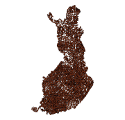
The Rock Geochemical Database of Finland data set describes the concentrations of major and trace elements in the bedrock of Finland. In all, 6544 samples were analysed for the total and partial concentrations of 57 elements using several different methods (XRF, ICP-MS, ICP-AES, GFAAS). The samples were taken during 1990-1995 with a mini-drill from rock that was as unaltered as possible. The sampling density varies between one sample per 30 km2 and one sample per 120 km2. The chemical analyses of the data were performed during 1992-2001. The reproducibility of the analytical results and the analytical drift were estimated using 375 duplicate sample pairs. The lowest reliable concentration was determined for each element and analytical method. In addition to the chemical concentrations, the database contains spatial data and several geological attributes for each sample. The data set and its manual were published in 2007 and they are available via the web site of the Geological Survey of Finland (GTK).
-
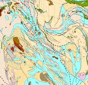
Bedrock of Finland 1:200 000 is a unified bedrock map dataset covering the whole Finland. It has been compiled by generalising the scale-free bedrock map feature dataset. The dataset consists of a lithological/stratigraphic geological unit polygon layer and linear layers, in which faults, diverse overprinting lines and dykes are represented. The dataset also includes an origin of the data and a quality estimation of the data polygon layers. The stratigraphic geological unit polygon layer includes lithological coding, geological time period and hierarchical lithostratigraphical or lithodemic classification as attributes in accordance with the Finnish database for stratigrafic geological units (Finstrati). The line layers have their own hierarchical classification. The data are at 1:200 000 scale, which indicates that the main part of the scale-free data have been generalised to correspond to a product at a scale of 1:200 000. Those areas where the source data is coarser than 1:200 000 have not been generalised. Coordinate reference system of the dataset was transformed in March 2013. The transformation from Finnish National Grid Coordinate System (Kartastokoordinaattijärjestelmä, KKJ) Uniform Coordinate Frame to ETRS-TM35FIN projection was done by using the three-dimensional transformation in accordance with the recommendations for the public administration JHS154.
-

The database consists of three components: "Published age determination”, ”Published Sm-Nd isotope data" and "Pb isotope data on galena". The "Published age determination" database is based on age determinations, which comprise predominantly U-Pb zircon data produced at the Geological Survey of Finland since 1960’s. For igneous rocks the age register contains radiometric ages mostly interpreted as primary ages. The information given consists of location data, rock type, method, mineral analyzed, age results, comments and references. "Published Sm-Nd isotope data" comprise Sm-Nd data procuded at GTK since 1981, which mostly are used to constrain the origin of crust. "Pb isotope data on galena" gives results produced at GTK since 1970's, and include also previously unpublished data.
-

The Geological Survey of Finland (GTK) has carried out systematic aerogeophysical low-altitude surveys during the period 1972-2007. The flight altitude (main terrain clearance) has been 30-40 m with a nominal flight line spacing of 200 m. The standard flight lines chosen run North-South and East-West and follow the main geological trends. The distance between the measuring points along the survey lines has been 6-50 m. The geophysical parameters measured include Earth's magnetic field, the electromagnetic field and natural gamma radiation. Magnetic measurements determine the Earth's magnetic field strength (magnetic flux density), and the parameter obtained is the total magnetic intensity. The measurements have been made with one to three proton magnetometers until 1991 and thereafter with one or two cesium magnetometers. Most of the land area has been flown using two magnetometers.
-
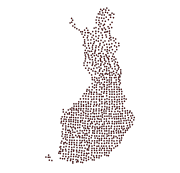
The Regional Till Geochemical Mapping data set gives information on the concentrations of 37 elements in unaltered basal till. The samples have been taken, in 1983, from an unaltered basal till (C horizon) below the groundwater table at a depth of ca. 70 cm (variation 50-200 cm) with a density of one sample per 300 km2. The data set covers the whole of Finland with a total sample amount of 1056. The samples are composite field samples. The calculated sample point coordinates entered in the data set have been obtained from the centroid coordinates of five subsamples. The subsamples have been collected from a 300 m x 1000 m rectangular-shaped area. In Northern Finland, samples have been obtained by including samples taken previously in the Nordkallot Project. The samples have been sieved for analysis at a grain size grade less than 0.06 mm. The samples have been analysed for total elemental concentrations and aqua regia concentrations. Total concentrations have been determined either by neutron activation analysis (method code 900N) or by total dissolution with strong concentrated mineral acids (method code 312P). The analysis code for aqua regia dissolution is 511P. Gold and palladium have been determined with a analysis method based on flameless atomic absorption (519U). The sulfur concentration has been determined with a LECO analyser (810L). Further, total concentrations (312P) and aqua regia soluble concentrations (511P) were determined from Southern Finland and Mid-Finland samples with a grain size grade less than two millimetres. The original purpose of the Regional Till Geochemical Mapping data set was national geochemical general mapping and ore exploration. Other uses are, for example, estimating the baseline concentration of the soil, the nutrient levels of forest soil, assessing the buffering capacity of base cations in the soil and evaluating the weathering rate.
-
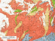
The 1:100 000 scale bedrock map data of the Geological Survey of Finland (GTK) include material produced during 1948-2007 for the needs of the mapping of mineral resources, for the sustainable exploitation of aggregate resources and for scientific research. These data include lithological information as polygons, bedrock observation points and drilling sites as well as essential tectonic observations, and information on lithological primary structures, ore minerals and metamorphic index minerals. Some 1:100 000 map sheets give both stratigraphical information as well as lithological data. An explanatory text accompanies most map sheets.
-
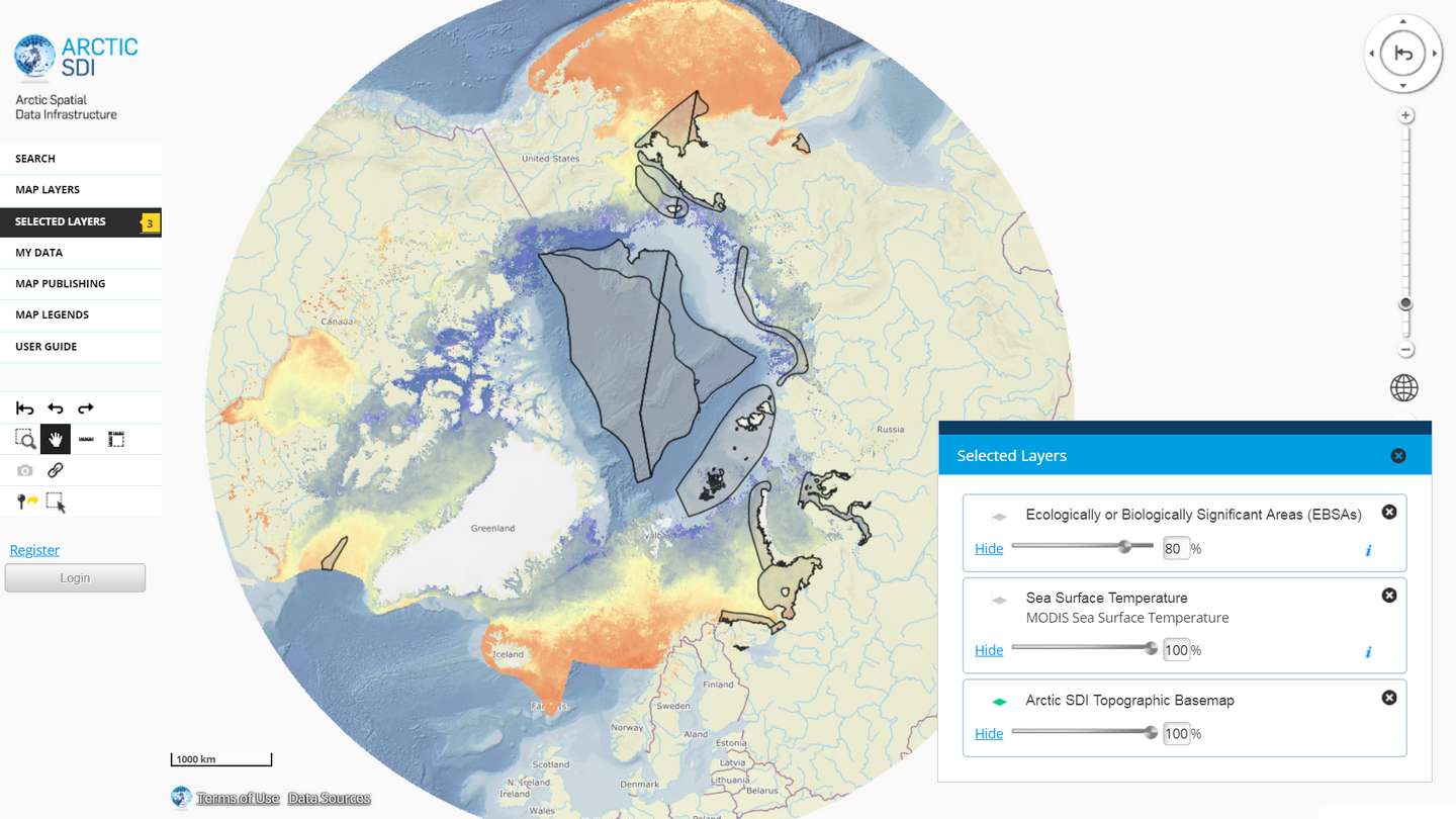
The Arctic SDI Geoportal provides access to geospatial data and services available via the Arctic SDI to support and facilitate monitoring, management and decision making, and support sustainable development in the Arctic. Specifically, the Arctic SDI Geoportal facilitates the discovery, visualization, evaluation, download and integration of geographic data from a variety of sources for the Arctic. The Arctic SDI Geoportal is the result of cooperative efforts between the National Mapping Agencies (NMAs) of the eight Arctic Council Member countries - Canada, Denmark, Finland, Iceland, Norway, Russia, Sweden and the United States. The Arctic SDI Geoportal includes reference data (such as the Arctic SDI topographic basemap or Pan-Arctic Digital Elevation Model) and thematic data from various sources. Thematic data section includes themes such as oceans, climatology and geoscientific information. Most of the data covers the Arctic or the involved Arctic countries, but new data sources with a smaller or larger geographical extent may be accepted. The Geoportal allows searching placenames via a circumpolar gazetteer, and embedding interactive maps to any website. Some of the features require registration.
-
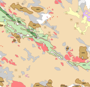
The Superficial deposits 1:20 000 / 1:50 000 data include material produced during the period 1972-2007 for land use planning, for the mapping and inventory of the natural resources as well as for environmental management and for scientific research. The main mapping scale has been 1:10 000. The data contains a sediment as a basal deposit at a depth of one metre. The minimum size of the basal deposit polygon is two hectares, with islands, mire and field enclosures, as well as geologically significant sites as an exception. The 0.4-0.9 m thick layers are described as overlying the basal deposit and, in geologically or economically significant cases, such layers could be even thicker. The minimum polygon size of the overlying deposit is usually four hectares. Thin covering layers under 0.4 m in thickness, which are difficult to delimit but effect an area of at least four hectares, are displayed as point data. Besides the deposits Quaternary geological formations formed in different ways, such as eskers and hummocky moraines, are described in the data. Other mapping sites such as small rock exposures, dunes and raised beaches are shown as point or line data. Coordinate reference system of the Superficial deposits 1:20 000 / 1:50 000 was transformed in March 2013. The transformation from Finnish National Grid Coordinate System (Kartastokoordinaattijärjestelmä, KKJ) Uniform Coordinate Frame to ETRS-TM35FIN projection was done by using the three-dimensional transformation in accordance with the recommendations for the public administration JHS154.
 DEMO Paikkatietohakemisto