Format
JPEG2000
Type of resources
Topics
Provided by
Years
Formats
Representation types
Update frequencies
Resolution
From
1
-
1
/
1
-

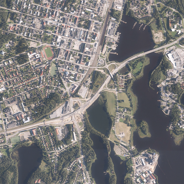
NLS orthophotos are an aerial photo data set covering the whole of Finland. The geometry of the orthophotos corresponds to a map. NLS orthophotos are updated every 3 to 10 years. The product is a part of the open data of the National Land Survey of Finland. More information: Acquisition of open data http://www.maanmittauslaitos.fi/en/maps-and-spatial-data/expert-users/topographic-data-and-how-acquire-it
 DEMO Paikkatietohakemisto