Land use
Type of resources
Available actions
Topics
Keywords
Contact for the resource
Provided by
Years
Formats
Representation types
Update frequencies
Service types
Scale
-
The Finnish Forest Research Institute (Metla) developed a method called multi-source national forest inventory (MS-NFI). The first operative results were calculated in 1990. Small area forest resource estimates, in here municipality level estimates, and estimates of variables in map form are calculated using field data from the Finnish national forest inventory, satellite images and other digital georeferenced data, such as topographic database of the National Land Survey of Finland. Six sets of estimates have been produced for the most part of the country until now and five sets for Lapland. The number of the map form themes in the most recent version, from year 2011, is 45. In addition to the volumes by tree species and timber assortments, the biomass by tree species groups and tree compartments have been estimated. The first country level estimates correspond to years 1990-1994. The most recent versions are from years 2005, 2007, 2009 and 2011. The maps from 2011 is the second set of products freely available. The new set of the products will be produced annually or biannually in the future. The maps are in a raster format with a pixel size of 20mx20m and in the ETRS-TM35FIN coordinate system. The products cover the combined land categories forest land, poorly productive forest land and unproductive land. The other land categories as well as water bodies have been delineated out using the elements of topographic database of the Land Survey of Finland.
-
The Finnish Forest Research Institute (Metla) developed a method called multi-source national forest inventory (MS-NFI). The first operative results were calculated in 1990. Small area forest resource estimates, in here municipality level estimates, and estimates of variables in map form are calculated using field data from the Finnish national forest inventory, satellite images and other digital georeferenced data, such as topographic database of the National Land Survey of Finland. Nine sets of estimates have been produced for the most part of the country until now and eight sets for Lapland. The number of the map form themes in the most recent version, from year 2017, is 45. In addition to the volumes by tree species and timber assortments, the biomass by tree species groups and tree compartments have been estimated. The first country level estimates correspond to years 1990-1994. The most recent versions are from years 2005, 2007, 2009, 2011, 2013, 2015 and 2017. The maps from 2017 is the fifth set of products freely available. It is also the third set produced by the Natural Resources Institute Finland. A new set of the products will be produced annually or biannually in the future. The maps are in a raster format with a pixel size of 16m x 16m (from 2013) and in the ETRS-TM35FIN coordinate system. The products cover the combined land categories forest land, poorly productive forest land and unproductive land. The other land categories as well as water bodies have been delineated out using the elements of the topographic database of the Land Survey of Finland.
-
The Finnish Forest Research Institute (Metla) developed a method called multi-source national forest inventory (MS-NFI). The first operative results were calculated in 1990. Small area forest resource estimates, in here municipality level estimates, and estimates of variables in map form are calculated using field data from the Finnish national forest inventory, satellite images and other digital georeferenced data, such as topographic database of the National Land Survey of Finland. Seven sets of estimates have been produced for the most part of the country until now and six sets for Lapland. The number of the map form themes in the most recent version, from year 2015, is 45. In addition to the volumes by tree species and timber assortments, the biomass by tree species groups and tree compartments have been estimated. The first country level estimates correspond to years 1990-1994. The most recent versions are from years 2005, 2007, 2009, 2011, 2013 and 2015. The maps from 2015 is the fourth set of products freely available. It is also the second set produced by the Natural Resources Institute Finland. A new set of the products will be produced annually or biannually in the future. The maps are in a raster format with a pixel size of 16m x 16m (from 2013) and in the ETRS-TM35FIN coordinate system. The products cover the combined land categories forest land, poorly productive forest land and unproductive land. The other land categories as well as water bodies have been delineated out using the elements of the topographic database of the Land Survey of Finland.
-
The Finnish Forest Research Institute (Metla) developed a method called multi-source national forest inventory (MS-NFI). The first operative results were calculated in 1990. Small area forest resource estimates, in here municipality level estimates, and estimates of variables in map form are calculated using field data from the Finnish national forest inventory, satellite images and other digital georeferenced data, such as topographic database of the National Land Survey of Finland. Five sets of estimates have been produced for the most part of the country until now and four sets for Lapland. The number of the map form themes in the most recent version, from year 2009, is 43. In addition to the volumes by tree species and timber assortments, the biomass by tree species groups and tree compartments have been estimated. The first country level estimates correspond to years 1990-1994. The most recent versions are from years 2005, 2007 and 2009. MS-NFI 2011 will be ready early 2013. The first set of the products freely available are from year 2009. The new set of the products will be produced annually or biannually in the future. The map from products are in a raster format with a pixel size of 20mx20m and in ETRS-TM35FIN coordinate system. The products cover the combined land categories forest land, poorly productive forest land and unproductive land. The other land categories as well as water bodies have been delineated out using the elements of topographic database of the Land Survey of Finland.
-
The Finnish Forest Research Institute (Metla) developed a method called multi-source national forest inventory (MS-NFI). The first operative results were calculated in 1990. Small area forest resource estimates, in here municipality level estimates, and estimates of variables in map form are calculated using field data from the Finnish national forest inventory, satellite images and other digital georeferenced data, such as topographic database of the National Land Survey of Finland. Seven sets of estimates have been produced for the most part of the country until now and six sets for Lapland. The number of the map form themes in the most recent version, from year 2015, is 45. In addition to the volumes by tree species and timber assortments, the biomass by tree species groups and tree compartments have been estimated. The first country level estimates correspond to years 1990-1994. The most recent versions are from years 2005, 2007, 2009, 2011, 2013 and 2015. The maps from 2015 is the fourth set of products freely available. It is also the second set produced by the Natural Resources Institute Finland. A new set of the products will be produced annually or biannually in the future. The maps are in a raster format with a pixel size of 16m x 16m (from 2013) and in the ETRS-TM35FIN coordinate system. The products cover the combined land categories forest land, poorly productive forest land and unproductive land. The other land categories as well as water bodies have been delineated out using the elements of the topographic database of the Land Survey of Finland.
-
Tiedostopalvelun INSPIRE-syöte on Atom-syöte, jonka kautta on saatavilla Maanmittauslaitoksen tiedostoina ladattavat maastotieto- ja kiinteistörekisterikarttatietotuotteet. Aineistoja hallinnoi Maanmittauslaitos. Palvelun käyttö vaatii autentikointia eli tunnistautumista käyttäjätunnuksen ja salasanan avulla ja on avoimien aineistojen osalta maksutonta, muiden aineistojen osalta maksullista. Tunnuksen palvelun käyttöön voi tilata myynti@maanmittauslaitos.fi -osoitteesta. Tunnuksen perustaminen on maksullista.
-
Palvelun kautta saa käyttöön ajantasaiset rasterimuotoiset perus-, maasto- ja yleiskartat sekä ilmakuvat. Palvelu on tarkoitettu WMTS-standardia tukevien sovellusten käyttöön. Lisätietoja http://www.maanmittauslaitos.fi/aineistot-palvelut/rajapintapalvelut/karttakuvapalvelu-wmts Palvelun käyttö on maksullista ja vaatii käyttäjätunnuksen ja salasanan.
-

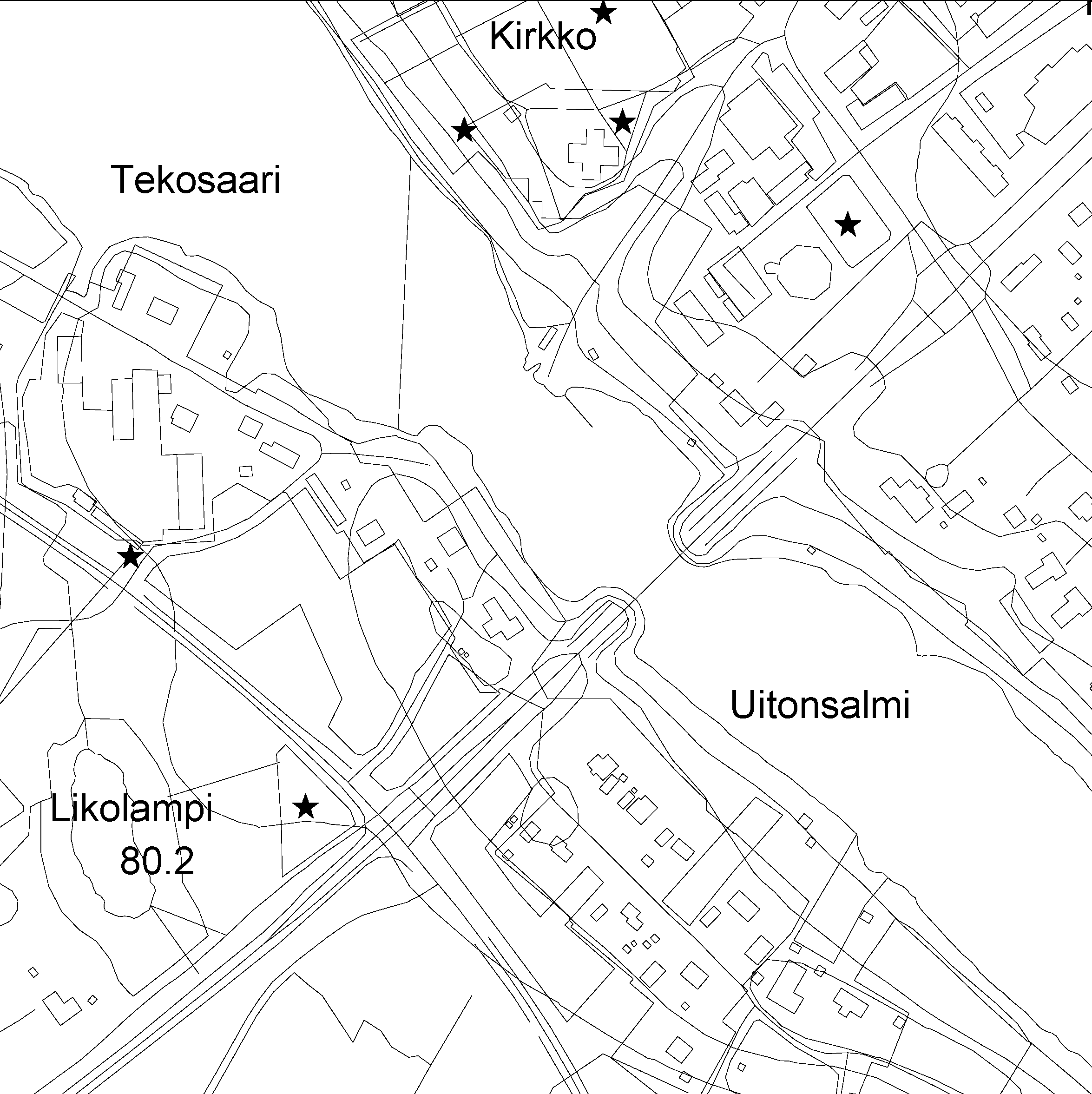
The Topographic database is a dataset depicting the terrain of all of Finland. The key objects in the Topographic database are the road network, buildings and constructions, administrative borders, geographic names, land use, waterways and elevation. Aerial photographs, scanning data and data provided by other data providers are utilised in updating the Topographic database. The updating is done in close cooperation with the municipalities. Field checks in the terrain are also needed to some extent, mostly as regards the classification of features. The topographic database is used in the production of other map products and in various optimisation tasks. The product belongs to the open data of the National Land Survey of Finland. More information: Topographic data and how to acquire it http://www.maanmittauslaitos.fi/en/maps-and-spatial-data/expert-users/topographic-data-and-how-acquire-it.
-

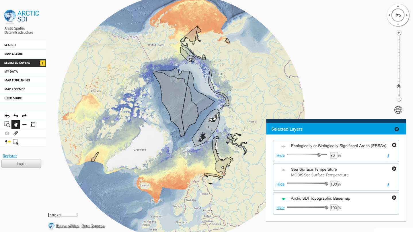
The Arctic SDI Geoportal provides access to geospatial data and services available via the Arctic SDI to support and facilitate monitoring, management and decision making, and support sustainable development in the Arctic. Specifically, the Arctic SDI Geoportal facilitates the discovery, visualization, evaluation, download and integration of geographic data from a variety of sources for the Arctic. The Arctic SDI Geoportal is the result of cooperative efforts between the National Mapping Agencies (NMAs) of the eight Arctic Council Member countries - Canada, Denmark, Finland, Iceland, Norway, Russia, Sweden and the United States. The Arctic SDI Geoportal includes reference data (such as the Arctic SDI topographic basemap or Pan-Arctic Digital Elevation Model) and thematic data from various sources. Thematic data section includes themes such as oceans, climatology and geoscientific information. Most of the data covers the Arctic or the involved Arctic countries, but new data sources with a smaller or larger geographical extent may be accepted. The Geoportal allows searching placenames via a circumpolar gazetteer, and embedding interactive maps to any website. Some of the features require registration.
-

Paikkatietohakemisto is a national metadata discovery service.
 DEMO Paikkatietohakemisto