elevation
Type of resources
Available actions
Topics
Keywords
Contact for the resource
Provided by
Years
Formats
Representation types
Update frequencies
status
Scale
Resolution
-
-
Control points and their coordinates and elevations define in practice the reference system for coordinates and elevations used in Finland. The NLS benchmark register contains information about nationwide control points and benchmarks. The marks are mainly horizontal and elevation control points in classes 1–3 measured by the National Land Survey of Finland. The product belongs to the open data of the National Land Survey of Finland. More information: Topographic data and how to acquire it http://www.maanmittauslaitos.fi/en/maps-and-spatial-data/expert-users/topographic-data-and-how-acquire-it.
-

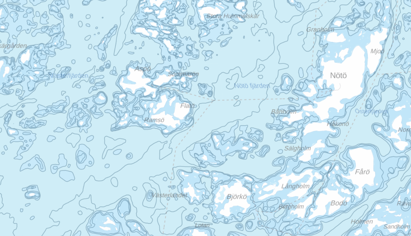
Aineisto sisältää syvyysalueet, syvyyskäyrät ja yksittäiset syvyyspisteet (syvyysluvut).
-

Sisävesien (järvet, joet) syvyysaineisto perustuu pääosin ympäristöhallinnon tekemiin syvyysluotauksiin. Luotauspisteaineistosta on SYKEssä johdettu syvyyskäyrät ja -alueet sekä järven maksimisyvyyspisteaineistot. Järvien luotaus- ja maksimisyvyyspisteisiin sekä syvyysalueisiin on yhdistetty fysiografiatietoja SYKEn ylläpitämästä järvirekisteristä. Nämä syvyyskäyrät toimitetaan Maanmittauslaitokseen, jossa ne tallennetaan osaksi maastotietokantaa ja edelleen julkaistaan maastokartoista. Aineisto kuuluu SYKEn avoimiin aineistoihin (CC BY 4.0).
-
Elevation model 2 m is a model depicting the elevation of the ground surface in relation to sea level. Its grid size is 2 m x 2 m. The dataset is based on laser scanning data, the point density of which is at least 0.5 points per square metre. The product is available as versions with different coverage areas through-out the whole country but not as comprehensive. New data is added to the dataset continuously. Eleva-tion model 10 m is available as a version that covers the whole of Finland. Elevation model 2 m is produced in two quality classes: the elevation accuracy in class I is on average 0.3 metres and the elevation accuracy in class II varies between 0.3 metres and one metre. The product belongs to the open data of the National Land Survey of Finland. More information: Topographic data and how to acquire it http://www.maanmittauslaitos.fi/en/maps-and-spatial-data/expert-users/topographic-data-and-how-acquire-it
-
Laser scanning data refers to three-dimensional point-like data depicting the ground and objects on the ground. Each point is provided with x, y and z coordinate information. Laser scanning data is collected i.a. in order to produce elevation models and collect information about forest resources. Currently laser scanning data is available only from certain parts of Finland. The product belongs to the open data of the National Land Survey of Finland. More information: Topographic data and how to acquire it http://www.maanmittauslaitos.fi/en/maps-and-spatial-data/expert-users/topographic-data-and-how-acquire-it.
-

Hillshade is a raster dataset visualising the elevation of the terrain. There are five product versions available in which the pixel sizes are 2, 8, 32, 64, 128 and 512 metres (old versions in PNG format and pixel sizes 10, 40, 80, 160 and 640 metres are still available through 2016). Pixel size 2 m has been produced of the dataset Elevation model 2 m and it does not cover the whole of Finland. The other sizes have been produced of the dataset Elevation model 10 m and they cover the whole country. The material does not contain elevation values; it is a greyscale image that visualises the direction and steepness of hills. The product belongs to the open data of the National Land Survey of Finland. More information: Topographic data and how to acquire it http://www.maanmittauslaitos.fi/en/maps-and-spatial-data/expert-users/topographic-data-and-how-acquire-it.
-

Elevation zones is a raster dataset that visualises elevation of the terrain. The product covers the whole of Finland. There are four product versions available in which the pixel sizes are 32, 64, 128 and 512 metres. The dataset does not contain elevation values; it is a colour image that visualises the height of the terrain above sea level as zones. The product Elevation zones is available as a version that covers the whole country and as versions that cover a certain area. The product belongs to the open data of the National Land Survey of Finland. More information: Topographic data and how to acquire it http://www.maanmittauslaitos.fi/en/maps-and-spatial-data/expert-users/topographic-data-and-how-acquire-it.
-
Elevation model 10 m depicts the elevation of the ground surface of the whole of Finland in relation to sea level. Its grid size is 10 m x 10 m and the accuracy of elevation data 1.4 metres. The product belongs to the open data of the National Land Survey of Finland. More information: Topographic data and how to acquire it http://www.maanmittauslaitos.fi/en/maps-and-spatial-data/expert-users/topographic-data-and-how-acquire-it.
-
 DEMO Paikkatietohakemisto