Production and industrial facilities
Type of resources
Available actions
Topics
Keywords
Contact for the resource
Provided by
Formats
Representation types
Update frequencies
Service types
Scale
-

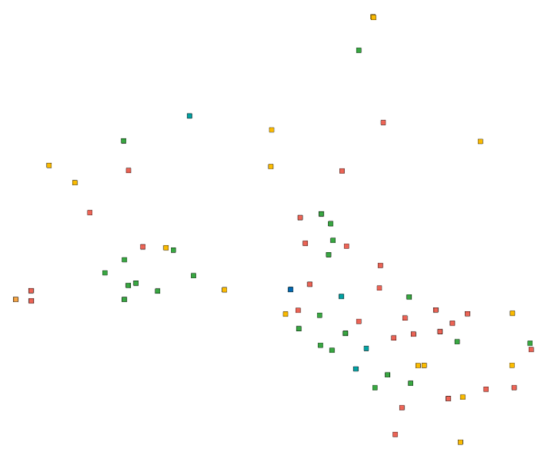
Production and Industrial Facilities contain the data set on establishments based on Statistics Finland's Business Register as follows: Data: location coordinates of the establishment, industry according to the Standard Industrial Classification TOL 2008 at the 2-digit level Industries according to D2.8.III.8 INSPIRE in TOL 2008 industries: B Mining and quarrying C Manufacturing D Electricity, gas steam and air conditioning supply E Water supply, sewerage, waste management and remediation activities F Construction H Transport and storage (excl. 53 Postal and courier activities) Coverage of the data set: establishments with over ten employees Statistical reference year: 2018 The data set is also suitable for viewing the location of industrial establishments. The coverage of the spatial data is about 90 % of the statistical data. The general Terms of Use must be observed when using the data: http://tilastokeskus.fi/org/lainsaadanto/copyright_en.html.
-

Statistics Finland's Web Service is a WMS interface service through which the following data required by INSPIRE and national legislation on geographic information are available: 1) Statistical units: Regional divisions (municipality, major region, region, sub-regional unit, Regional State Administrative Agency (AVI), Centre for Economic Development, Transport and the Environment (ELY)) and grid 1 km x 1 km. 2) Non-profit and public services: Educational institutions (comprehensive schools, upper secon-dary general schools) 3) Production and industrial facilities: Production and industrial facilities 4) Population distribution by the regional divisions used in statistics and by 1 km x 1 km grids. Other data published: - Open data by postal code area (Paavo) - Population distribution by 5 km x 5 km grids The data are administered by Statistics Finland. The service is free of charge and does not require authentication or identification with a user ID and password. The general Terms of Use must be observed when using the data: http://tilastokeskus.fi/org/lainsaadanto/copyright_en.html.
-
Tiedostopalvelun INSPIRE-syöte on Atom-syöte, jonka kautta on saatavilla Maanmittauslaitoksen tiedostoina ladattavat maastotieto- ja kiinteistörekisterikarttatietotuotteet. Aineistoja hallinnoi Maanmittauslaitos. Palvelun käyttö vaatii autentikointia eli tunnistautumista käyttäjätunnuksen ja salasanan avulla ja on avoimien aineistojen osalta maksutonta, muiden aineistojen osalta maksullista. Tunnuksen palvelun käyttöön voi tilata myynti@maanmittauslaitos.fi -osoitteesta. Tunnuksen perustaminen on maksullista.
-

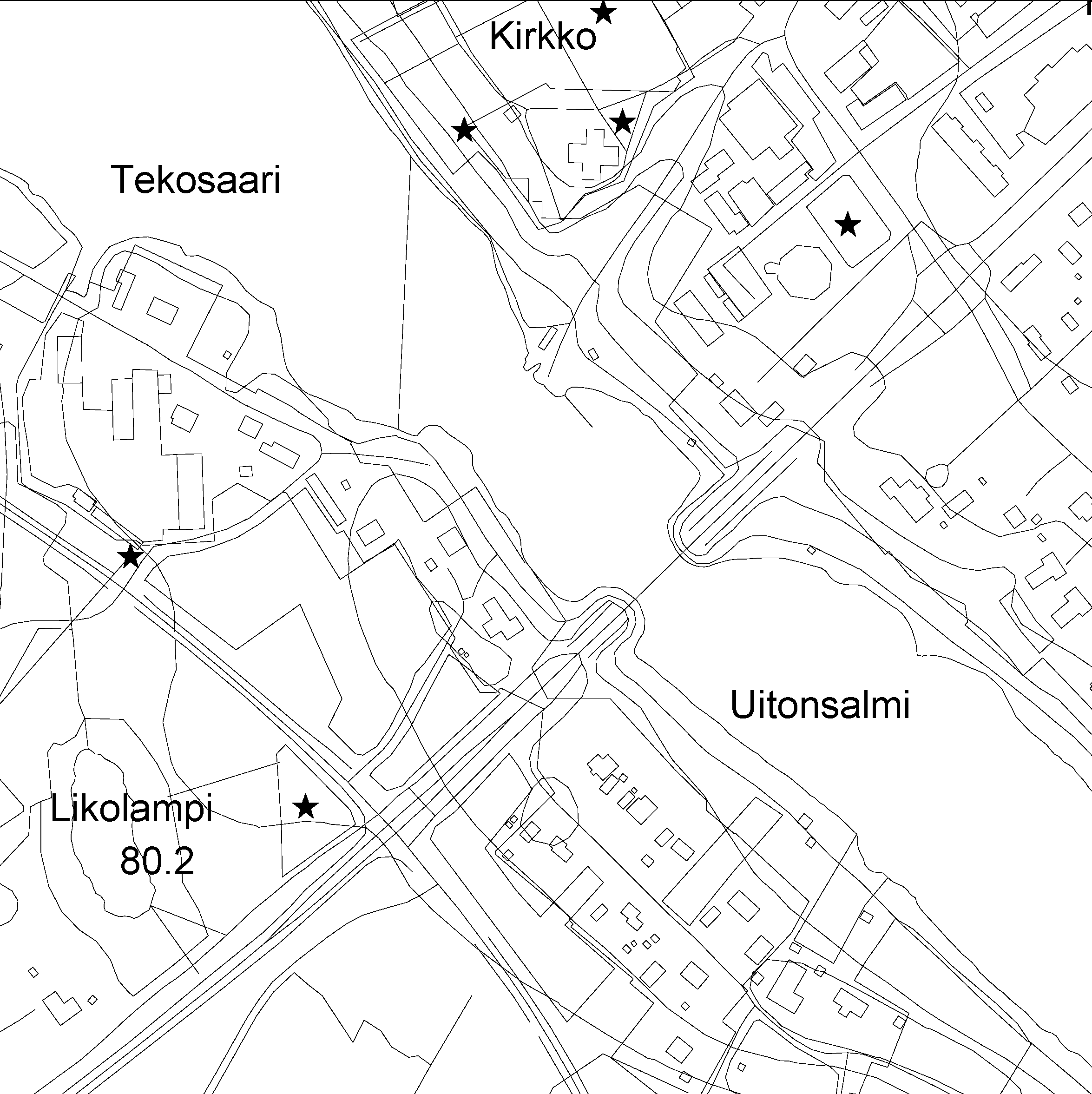
The Topographic database is a dataset depicting the terrain of all of Finland. The key objects in the Topographic database are the road network, buildings and constructions, administrative borders, geographic names, land use, waterways and elevation. Aerial photographs, scanning data and data provided by other data providers are utilised in updating the Topographic database. The updating is done in close cooperation with the municipalities. Field checks in the terrain are also needed to some extent, mostly as regards the classification of features. The topographic database is used in the production of other map products and in various optimisation tasks. The product belongs to the open data of the National Land Survey of Finland. More information: Topographic data and how to acquire it http://www.maanmittauslaitos.fi/en/maps-and-spatial-data/expert-users/topographic-data-and-how-acquire-it.
-

Paikkatietohakemisto is a national metadata discovery service.
 DEMO Paikkatietohakemisto