0.5 m
Type of resources
Topics
Provided by
Years
Formats
Representation types
Update frequencies
Scale
Resolution
-
Kasvillisuuden korkeusaineisto on laserkeilausaineistoista teemoitettu rasteriaineisto. Aineistossa on teemoitettu 5 metrin korkeus välein kasvillisuuskorkeudet. Teemoitus alkaa 5 metrin korkeudesta ja päättyy 50 metriin. Laserkeilausaineisto on keilattu vuosina 2007,2009 ja 2012 riippuen alueesta. Maaningan keskustan alueen kasvillisuusrasterointi on tehty Maanmittauslaitoksen vuoden 2011 keilausaineistoon perustuen, jossa aineiston tarkkuus on selkeästi huonompi. Tarkista kasvillisuuskorkeusrasterin tarkempi vuosi tiedon tuottajalta. Aineisto on muodostettu automaattisesti luokitellusta laserkeilausaineistosta, josta on käsin jälkeen päin poistettu mm. sähkölinjoja sekä rakennuksiksi luokiteltuja pisteitä. Aineistossa on mukana yksittäisiä pisteitä rakennuksista, voimalinjoista sekä muista korkeista rakenteista. Aineisto ei kuvaa ajantasaista kasvillisuustilannetta vaan laserkeilausvuoden tilannetta. Kasvillisuuskorkeustasot:5m - 10m,10m - 15m,15m - 20m,20m - 25m,25m - 30m,30m - 35m,35m - 50m.
-

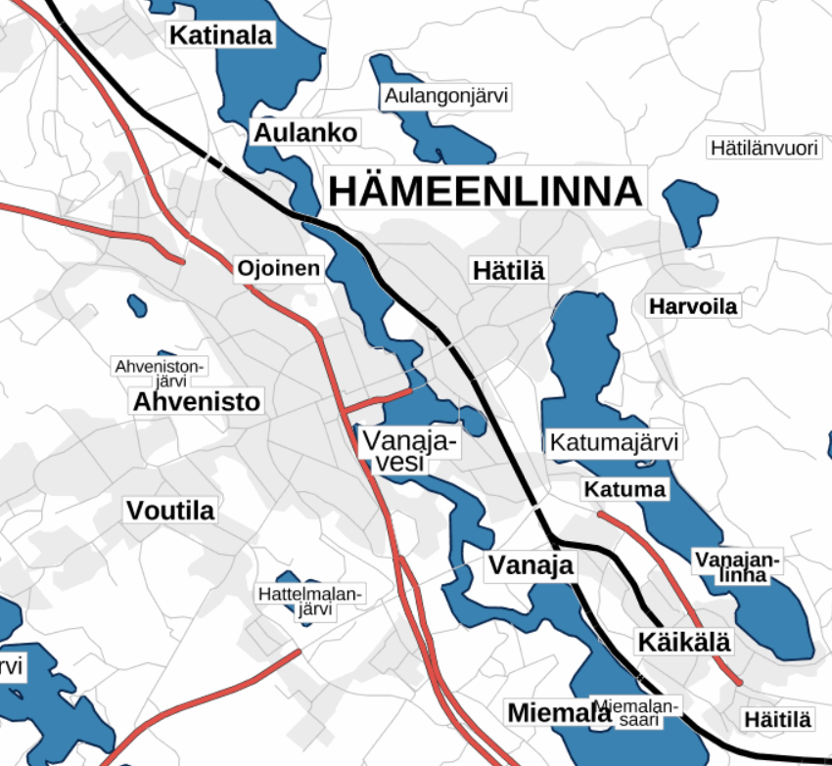
Road names is a raster product that covers the whole of Finland and includes the road names and the street names of the road network stored in the Topographic database. The positional accuracy of the product Road names corresponds to that of scale 1:10 000. The product is updated twice a year. The product Road names is only available via the service interface. The product is a part of the open data of the National Land Survey of Finland.
-

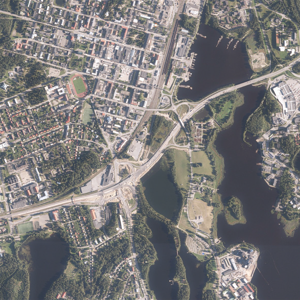
NLS orthophotos are an aerial photo data set covering the whole of Finland. The geometry of the orthophotos corresponds to a map. NLS orthophotos are updated every 3 to 10 years. The product is a part of the open data of the National Land Survey of Finland. More information: Acquisition of open data http://www.maanmittauslaitos.fi/en/maps-and-spatial-data/expert-users/topographic-data-and-how-acquire-it
-
An aerial photograph is a photograph of the terrain taken from an aeroplane. The images are vertical photographs applicable to be used in mapping. The aerial photographs are reprocessed into dimensionally accurate images called orthophotos. Aerial photographs are available since the 1930s, depending on the area. Aerial photographs are available in black and white, colour and infrared. The size and accuracy of aerial photos depend on the camera, photography scale and altitude or ground sample distance (GSD). The product belongs to the open data of the National Land Survey of Finland. More information: Topographic data and how to acquire it http://www.maanmittauslaitos.fi/en/maps-and-spatial-data/expert-users/topographic-data-and-how-acquire-it
-

The Plain map series is a simple, plain and readable dataset product series in raster format that depicts the whole of Finland. The product is meant to be used as a background map whose character changes to a guide map in large scales. Impaired vision has been taken into account when designing the product. The key objects presented on the map are roads and railways, road names, buildings and constructions, administrative borders, waterways and other geographical names. The road network, public buildings and texts have been especially emphasised. The most usual limitations of colour vision have been taken into account in the use of colours. The product belongs to the open data of the National Land Survey of Finland. More information: Topographic data and how to acquire it http://www.maanmittauslaitos.fi/en/maps-and-spatial-data/expert-users/topographic-data-and-how-acquire-it.
-

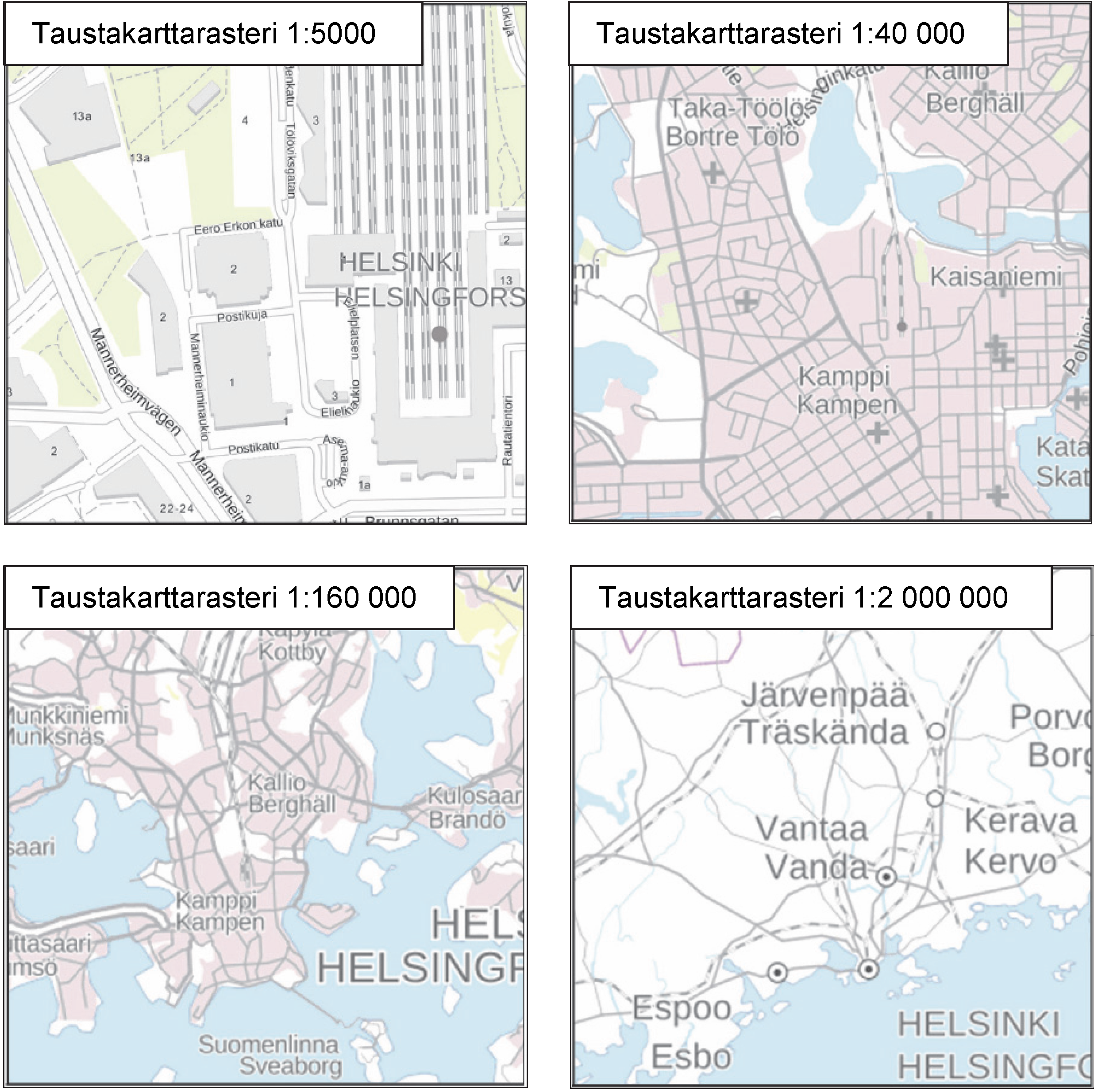
The Background map series is a dataset product series in raster format that depicts the whole of Finland and that is meant for web use as a background material for thematic data. Its key objects are road names, roads and railways, buildings and constructions, administrative borders, geographical names, waterways, land use and addresses of buildings (from the Population Register Centre). The product belongs to the open data of the National Land Survey of Finland. More information: Topographic data and how to acquire it http://www.maanmittauslaitos.fi/en/maps-and-spatial-data/expert-users/topographic-data-and-how-acquire-it.
 DEMO Paikkatietohakemisto